
Description
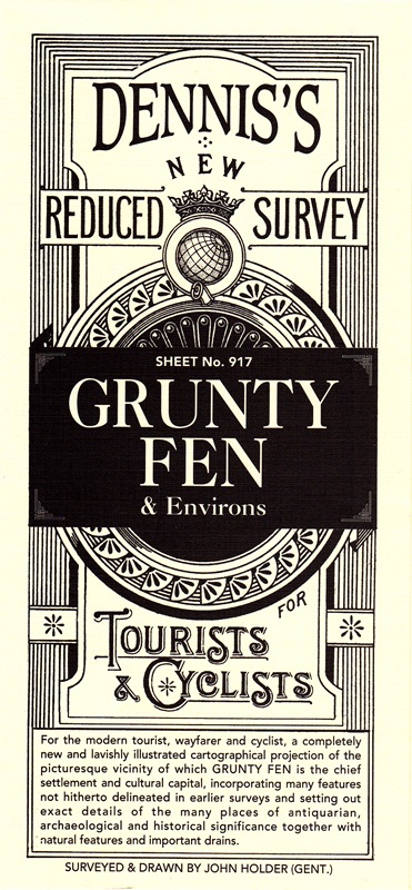
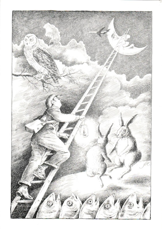
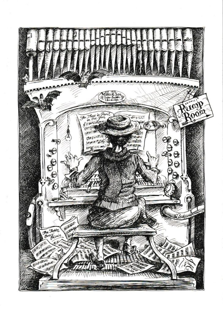
Many of the illustrations for Dennis’s website come from this exquisite document, and it’s what you really need as a guide to Grunty Fen: the authentic, totally official and completely reliable* illustrated road map of the entire Grunty Fen area in glorious cream and black.
This document – which you can see parts of as background to Dennis’s Website – measures almost 2′ by almost 1’6″ (as measured on a bilingual tape-measure) and so ‘map’ is too small a word for Dennis’s New Reduced Survey of Grunty Fen and Its Environs.
It is in fact, a lavishly illustrated cartographical projection incorporating many features hitherto not delineated in earlier surveys and setting out exact details of the many places of antiquarian, archaeological and historical significance together with natural features and important drains.
Surveyed and drawn by world-renowned artist Mr John Holder (Gent.)
* in the loosest sense of the word
Reviews
There are no reviews yet.